Tesla Pivots to Building In-House Maps for Full Self-Driving
The electric vehicle maker is developing a proprietary mapping system to address persistent errors in speed limit recognition and route selection.
By Andrew Fletcher ·
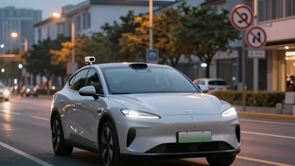
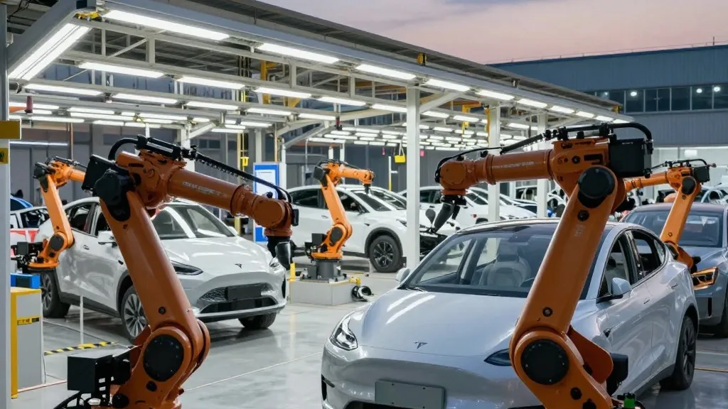
Tesla is currently developing its own mapping infrastructure to resolve common operational errors in its Full Self-Driving software. The company announced this strategic shift during its Q3 2026 earnings call, where its AI leadership explained that the new system will handle critical tasks such as reading speed limits, managing parking, and selecting efficient routes. This move marks a significant departure from the company's long-standing public stance on the necessity of detailed cartographic data for autonomous vehicles.
The decision comes from a question raised by a retail investor during a shareholder Q&A session. The investor noted that mapping remains a persistent issue for the software, specifically citing problems with speed limits, parking, and typical route choices. They asked why the company relied on third-party data instead of creating its own. In response, Ashok Elluswamy, the Vice President of AI, agreed that Tesla should not depend on external maps. He outlined a plan to use a new AI-based architecture that learns from the collective data of the vehicle fleet and adapts to individual driver preferences and voice commands.
Elluswamy stated that this technology will first address the start and end of trips with the upcoming FSD version 15. Over the following months, the system is expected to take over broader navigation, parking, and destination management. This approach relies on the existing fleet of Tesla vehicles to continuously feed data into the system, allowing the map to evolve and improve over time.
This development contrasts with statements made by CEO Elon Musk in 2019. At the company's Autonomy Day that year, Musk argued that high-precision lane maps were a mistake that made self-driving systems brittle. He dismissed the reliance on lidar and detailed maps, asserting that Tesla could solve driving with cameras and AI alone. That perspective held for seven years, during which the company maintained that its vision-based approach was superior and did not require the same foundational data as competitors.
However, recent evidence suggests the vision-only approach has limitations. A Belgian road safety group recently found that FSD exceeded speed limits in the majority of 30 km/h zones it tested in Brussels. The vehicle often displayed an incorrect limit of 50 km/h. In the United States, the National Highway Traffic Safety Administration is considering an investigation into claims that Tesla Robotaxis speed through active school zones. These issues highlight difficulties in understanding simple environmental cues like signage.
The new strategy brings Tesla closer to the operational model of its main competitor, Waymo. While Waymo uses lidar to create high-definition maps before launching services, Tesla is now describing a similar process where fleet data informs a proprietary map. Although Tesla is not currently using centimeter-level precision, the method of using a fleet to build and update maps is fundamentally similar. This shift aligns with how the Robotaxi service currently operates, which is limited to specific geofenced areas. As the mapping layer becomes more detailed, it may eventually support the broader autonomous capabilities the company has promised for its consumer vehicles in 2027.
Source: Electrek